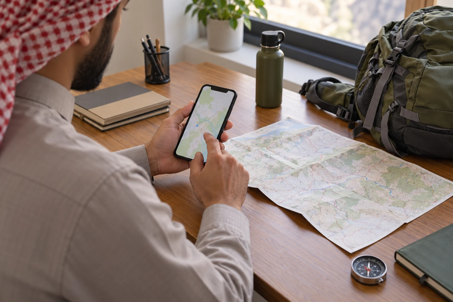
 عادل فيرق
Prepare offline hiking maps by downloading the required area in an application you understand, keeping the current programme information locally, and testing it with mobile data and Wi-Fi switched off. A saved link or a route you viewed once while connected does not establish what is actually available on your device. Check the resources and functions separately before departure.
Use offline hiking maps to understand and review information, while recognising what they cannot establish. A line does not prove that land is accessible, a route remains open or an activity suits every participant. Keep current programme instructions and the leader’s directions central to your preparation. An old file is not a reason to leave the group or override a decision made on the day.
Start with Hike & Seek’s current hiking trips and ask what information participants should retain for the exact programme. Do not assume every outing distributes a track file or requires one particular application. This guide explains how to organise and test offline hiking maps; it does not supply an approved Saudi route or guarantee navigation in all conditions.
Separate offline hiking maps from tracks and guidance
Think of offline hiking maps as several resources rather than one completed download. The area map supplies a background with information determined by its source and level of detail. A saved track can be a line displayed above that background. Guidance is another function whose availability depends on the application, its data and the selected operating mode.
You might see a track without a detailed background in offline hiking maps, or see the area without having imported the intended file. Neither observation proves the other resource is present. Identify the area data, any approved track supplied for your programme, relevant points and the display you expect to use. Give each element its own preparation check.
Google’s official help states that downloaded maps do not provide walking directions without an internet connection. Downloading an area in a familiar driving application therefore does not establish a complete offline hiking maps setup for walking guidance. Read the documentation for the specific function you need and test it. A broad offline label can describe only part of an application’s capabilities.
Check offline hiking maps links and local resources
When preparing offline hiking maps, distinguish a message link from a file actually stored on the phone. A link may open a web page or require an account and connection. A cloud file may not yet be downloaded. Open the resource from the place you intend to use and check that your home network is not quietly supplying missing information.
A screenshot can preserve a limited view within your offline hiking maps preparation. It does not automatically provide interactive enlargement, information outside its boundaries or a live position. It may help retain a meeting description or short instruction. Understand the particular fact it preserves instead of treating a coloured line in an image as a complete navigation system.
| Resource | What to check | What it cannot establish alone |
|---|---|---|
| Downloaded area | Required detail appears without a connection | Walking guidance is available |
| Track file | Source, version and display over the background | The route is open or permitted |
| Meeting point | The current description and arrival instructions | It is also the walking start |
| Message link | Its underlying content is locally accessible | Everything behind it is downloaded |
| Screenshot | The information is readable within the frame | It behaves like an interactive map |
Establish the source of offline hiking maps
Give offline hiking maps a clear source and a meaningful date. Begin with current programme information instead of collecting lines from different accounts because they share a mountain or valley name. Similar names can refer to different places. Another person’s recording may describe a private activity that does not match your booking or the arrangements currently available.
When receiving a file for offline hiking maps, establish who supplied it and why it is appropriate for this programme. A name such as final route is ambiguous if several files use it. Keep the approved information identifiable, where a file is supplied, and separate personal edits from the original. Do not redistribute your altered copy as though it were the organiser’s unchanged version.
Review the meeting point, walking start and activity finish separately in offline hiking maps. They need not be identical, and an outing may involve transfers according to its actual arrangements. Do not infer a bus service or drop-off from a line’s shape. Clarify an uncertain detail before building an arrival plan around an assumption that may not match the booking.
Identify the current offline hiking maps version
Choose names and folders that help you find the right offline hiking maps for the trip. Programme name, date and a supplied version description can help distinguish files. Avoid changes that interfere with application behaviour unless you understand them. Useful organisation means retrieving the correct information promptly, rather than creating many folders without knowing which contains the current resource.
If the organiser issues an update, review the offline hiking maps information you retained previously. An older screenshot or a favourite message may remain easier to find than the replacement. Give current instructions one clear location and keep older references separate when you need them. The most accessible item should not quietly become the wrong version simply because it was saved first.
Prepare offline hiking maps on the phone you will carry
Test offline hiking maps on the actual device you intend to take. Check storage space, application requirements and access to the relevant resources in your current account. Features can differ by application, platform and plan. Read the current official description rather than relying on an older video that assumes controls or allowances you cannot find in your installed version.
Select an offline hiking maps area based on the programme information and enough surrounding context to understand the region. A download tightly cropped to a narrow line may leave you unable to interpret adjacent information. Equally, downloading enormous unnecessary regions can consume storage before the important resources are complete. Make a deliberate selection rather than treating a larger download as automatically better preparation.
Wait for the offline hiking maps download to finish and inspect its resource status. Starting the process before bed does not prove it completed. Open the required area at useful detail levels and investigate warnings about missing or expired resources according to the application’s instructions. A thumbnail is not sufficient evidence that the information you expect to consult is available locally.
Check tracks for offline hiking maps independently
If an approved file is provided, learn to import and display it in offline hiking maps before the outing. OsmAnd’s official documentation describes importing GPX tracks and managing saved files. That is a technical capability, not approval of their content. A successful import does not establish that the file belongs to your programme or reflects current access conditions.
After importing, identify the exact line visible in offline hiking maps. Old personal tracks or other displayed resources may create confusion. Use the documented controls to understand what is shown and hidden. Change one relevant setting at a time and repeat the check. Otherwise, a sequence of unfamiliar adjustments can leave you unsure which action resolved the problem and how to reproduce it later.
Test offline hiking maps without the home network
Once downloads are complete, switch off mobile data and Wi-Fi and reopen offline hiking maps in a familiar setting. Display the area, intended file and essential points. The purpose is to identify local resources and missing dependencies, not to certify that the phone will operate in every environment. Note anything that asks for an account, connection or further download.
Test offline hiking maps beyond the opening screen. Review the boundaries of the saved region, relevant details and the particular line selected. If a background is incomplete, investigate and repeat the trial. Do not leave a known setup problem until the meeting point in the hope that another participant will have a connection or know how to configure your personal application.
Retain meeting instructions separately from offline hiking maps where useful. Open the local note or attachment with the connection still off. A message preview and a complete available attachment are different things to verify. Keep the information you need without putting participant phone numbers or private group details into a public file merely to make the arrangement convenient.
| Trial component | Action in a familiar place | Observation to record |
|---|---|---|
| Area data | Open it with both connections off | The required detail appears locally |
| Intended file | Display it and confirm its name | You identify the correct visible line |
| Meeting instructions | Open the saved note or attachment | It does not depend on a web link |
| Download boundaries | Inspect the saved region’s edges | No unexplained information gap remains |
| Reopening | Close the application and repeat access | You can reproduce the process calmly |
Describe an offline hiking maps problem clearly
If offline hiking maps behave differently from expectations, record the application, platform and function involved. Describe what opens and whether the problem occurs only without a connection. That provides a useful starting point for official support. Saying the map does not work is less helpful when the background appears correctly and only one imported file or guidance function is affected.
Contact Hike & Seek about offline hiking maps information specific to the programme, such as the meeting location or the approved version if supplied. Separate an organisational question from a software support issue. Do not assume a booking includes training in a personal navigation application or a paid subscription that the current service description has not confirmed.

Read offline hiking maps while stopped appropriately
When consulting offline hiking maps outdoors, stop in a suitable place without obstructing others and follow the group’s arrangements. Do not walk while absorbed in enlarging the display or writing a message. Preparing the screen can reduce searching, but it cannot replace attention to the actual ground, nearby participants and instructions relevant to the activity.
Learn the offline hiking maps legend, scale and display orientation from the application’s documentation before using symbols to interpret information. Colours can have different meanings between map styles. A line is not a complete description of terrain. Avoid comparing screenshots at different zoom levels and drawing conclusions about distance or gradient solely from their apparent shape.
A displayed position in offline hiking maps is separate from having complete area data and the correct selected track. If information conflicts or remains unclear, do not use a screen point as a reason to follow unfamiliar ground away from the group. Stop and explain the uncertainty to the activity leader. This guide covers preparation rather than emergency route correction or field navigation instruction.
Plan offline hiking maps power and access
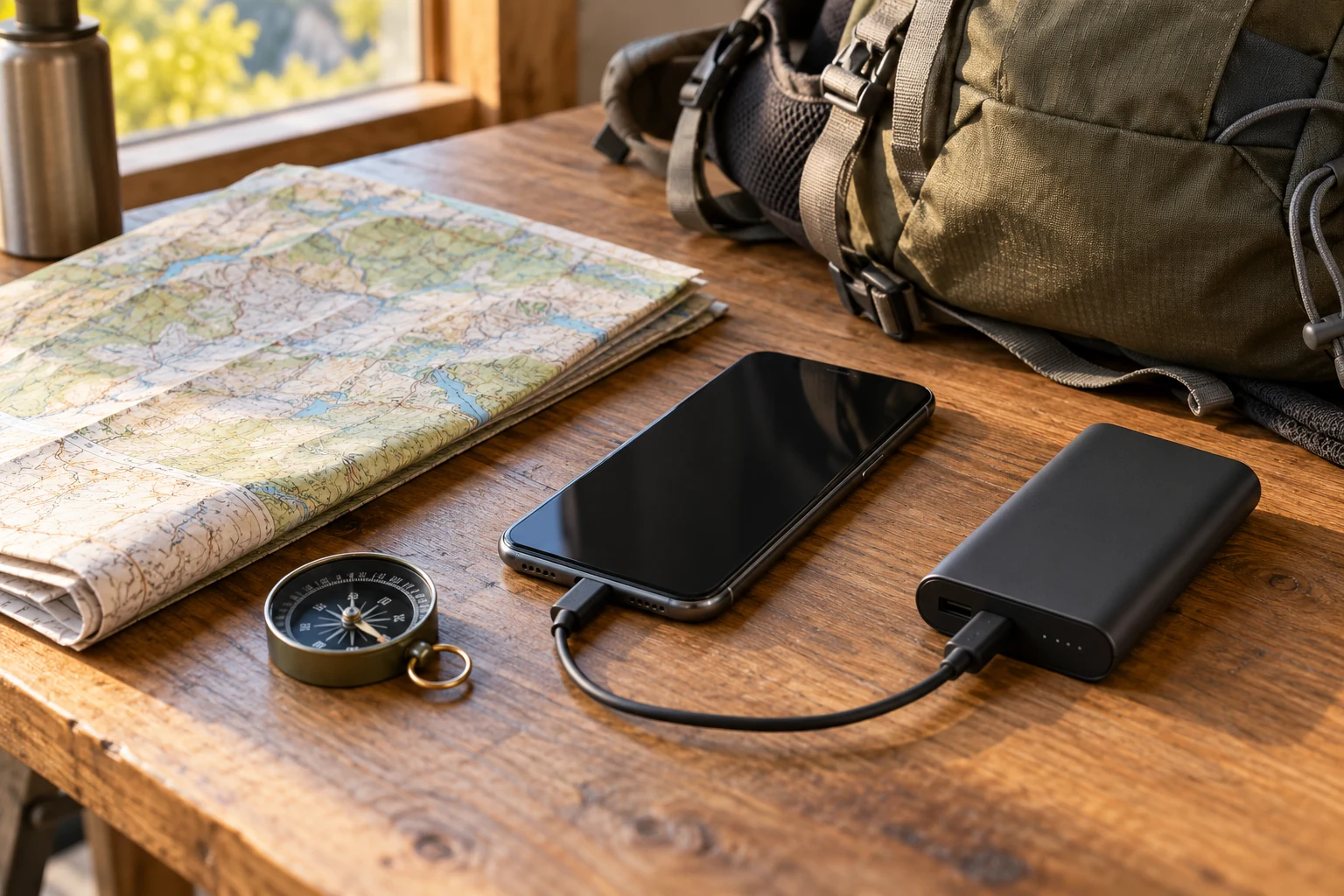
Include power in offline hiking maps preparation. Charge the phone and test the cable and power bank if you will carry them. A printed capacity figure does not establish that your particular combination works. Organise the relevant equipment where you can retrieve it without emptying the bag every time a straightforward connection or inspection is needed.
Review the settings you actually use with offline hiking maps, including display readability and access to saved resources, following device guidance. No single battery duration applies to every phone and pattern of use. Frequent photography and application use differ from leaving the device untouched on a table. Prepare around your own realistic use rather than relying on a universal operating-time promise.
Agree appropriate communication and fallback arrangements with the organiser before departure. Two applications on the same phone do not address every way the device might become unavailable. If you carry a paper reference or another tool, understand how to use it and its relationship to current instructions. Carrying unfamiliar equipment does not automatically supply the skill needed to interpret it.
Compare offline hiking maps problems through examples
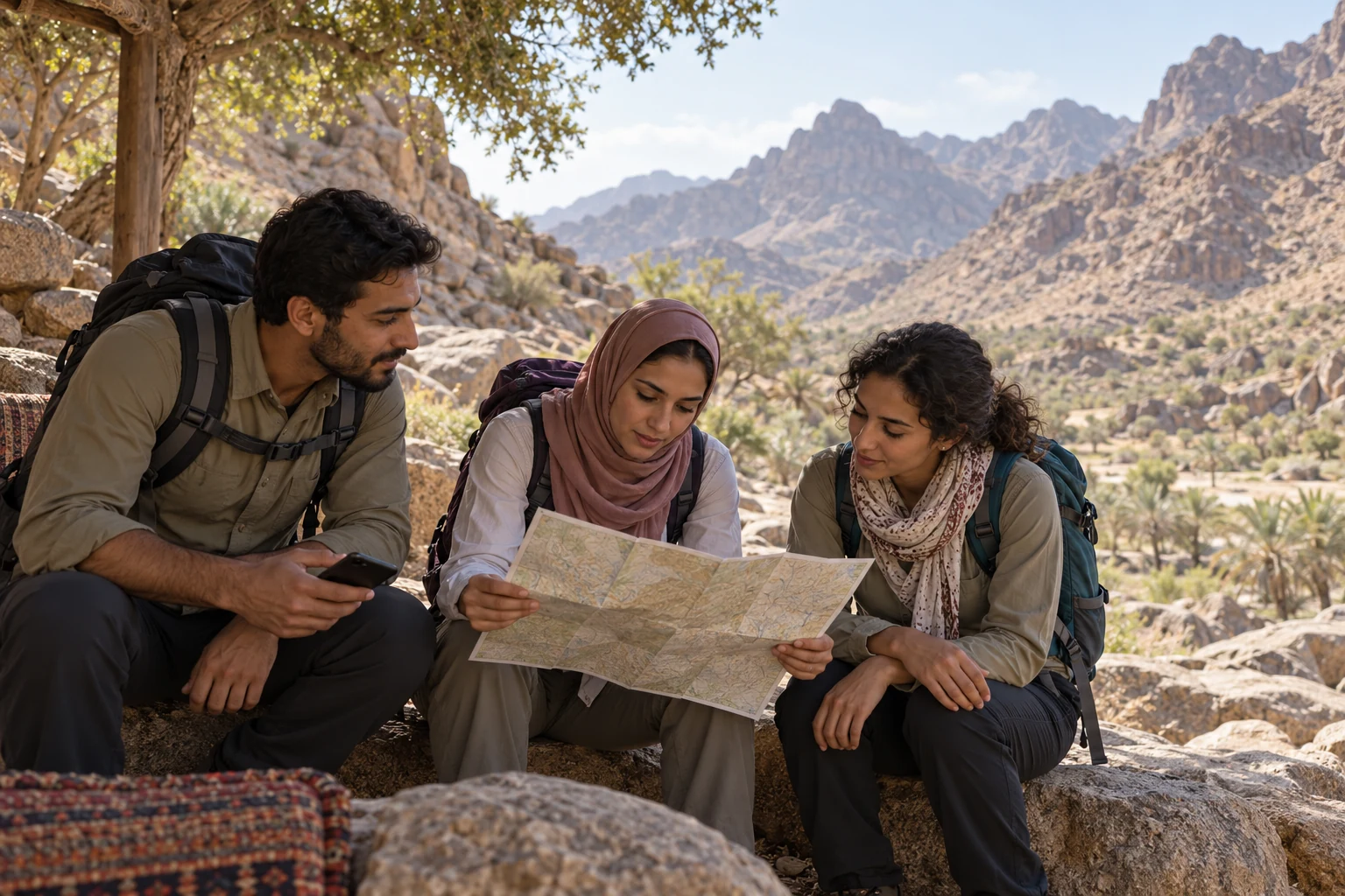
Imagine a participant retaining two offline hiking maps files with similar destination names. One is a friend’s older recording; the other relates to the current programme. They clarify the appropriate information, separate the older reference and repeat the disconnected trial. This hypothetical example concerns version management. It is not a customer story or a claim that every company programme distributes a track.
In another example, offline hiking maps appear complete while connected but lose their background during the local trial, leaving a visible line. The participant recognises that retaining a track did not also establish downloaded area data. They consult official documentation and resolve the setup before departure. A complete background still would not certify the line’s accuracy or the current condition of the land.
| Observation | Question needing an answer | Suitable preparation step |
|---|---|---|
| Two files share a destination | Which belongs to the current programme? | Confirm source and separate the old reference |
| Line appears without background detail | Was the relevant area downloaded? | Review resources and repeat the trial |
| Map appears but guidance is absent | Is that function available offline? | Consult the exact application’s documentation |
| Meeting location is ambiguous | Is it different from the walking start? | Clarify the organiser’s description |
| Opening information takes repeated attempts | Which steps remain unfamiliar? | Rehearse them before the meeting day |
Review device changes and shared information
If you change phones, repeat the disconnected trial on the replacement device. Seeing the application icon or signing into the same account does not establish that every local resource and setting is present. Check the area and intended file again. If someone helped with the original setup, repeat the steps yourself rather than relying on a sequence you watched once and have not reproduced independently.
When explaining a problem to the appropriate support service, share only the information relevant to the question. A description of the function and error may be enough without exposing private locations, participant details or an entire movement history. Check what is visible in a screenshot before sharing it. The purpose is to communicate a technical issue clearly, with enough context to understand it and without adding unrelated personal material.
After the outing, separate personal observations from current programme instructions. If you retain a recording or notes, identify their date and context. An activity that has finished does not automatically become suitable instructions for another participant on another date. A saved image cannot establish current access, permission or appropriate stopping places. Keep useful references labelled so that convenience does not turn an old observation into the apparent approved plan for a later trip.
Frequently asked questions about offline hiking maps
Does downloading Google Maps complete offline hiking maps preparation?
Do not assume it completes offline hiking maps preparation for walking guidance. Google’s help states that walking directions are unavailable without a connection. Identify the function you need, consult its current documentation and test your device. A downloaded area may serve as a limited reference, but its boundaries must remain clear in your preparation plan.
Can screenshots replace interactive offline hiking maps?
A screenshot within offline hiking maps preparation preserves particular information inside one frame. It does not automatically display live position, provide guidance or reveal detail outside that image. It may help retain a short meeting description. Keep its specific purpose clear and prepare other required resources separately rather than expecting a static image to behave like an application.
Does importing offline hiking maps approve the track?
Opening a file in offline hiking maps does not prove its source, age or relevance to the current outing. Confirm the programme and appropriate version if a file is supplied. Technical compatibility and content verification are different checks. Do not redistribute a personally altered copy as the original official information or treat another person’s recording as permission to follow it.
How do I test offline hiking maps locally?
After downloading, switch off mobile data and Wi-Fi and reopen offline hiking maps in a familiar setting. Check the relevant area, file and essential information, recording any additional request. The trial establishes what you saved and can open on that device. It does not guarantee the correctness of every detail or uninterrupted device operation in every condition.
Do offline hiking maps require a paid plan?
Identify the required offline hiking maps function before purchasing anything. Features, allowances and subscription terms can vary and change. Read the current official description for your platform and understand renewal and cancellation terms before paying. This article does not recommend a particular plan or imply that a tour booking includes a personal software subscription or support package.
Are offline hiking maps meeting and start points identical?
Do not assume that relationship in offline hiking maps. Read the current programme and clarify assembly, walking start and any actual transfer arrangement. Confusing them can put you at the wrong place despite a correct destination name. Use the instructions for this outing instead of another participant’s recording or details retained from a previous trip.
What if the screen conflicts with the leader’s instructions?
Do not separate from the group to resolve an offline hiking maps discrepancy yourself. Stop appropriately, explain what you see and follow the activity’s procedures and current guidance. Different versions or unfamiliar display settings may create confusion, but guessing while moving does not resolve it. Preparation guidance is not a replacement for navigation training or the programme’s emergency arrangements.
Does every programme provide offline hiking maps files?
Do not assume offline hiking maps files are included in every booking. Ask what information is provided and required for the exact programme and how meeting details should be retained. Distinguish questions about the activity from questions about your application. That helps obtain a clear answer without attributing an unconfirmed equipment, software or training service to the company.
Check offline hiking maps before the meeting day
Prepare a clear source, the appropriate programme information, a disconnected trial and realistic power and communication arrangements. Explore the current programmes and contact the team about the meeting point or any organisational uncertainty before departure. Understand the limits of offline hiking maps so your preparation supports clear questions and cooperation with the group and its current field instructions.